FISH ON! It’s a cry that every angler loves to hear. It means there’s a fish on the line, and a chance of reeling in something big. Whether you’re a casual fishing enthusiast, or a seasoned tournament angler, the thrill of the catch is something everyone strives to achieve.
But how do you optimize your chances of success, particularly when you’re offshore fishing in the vastness of the open ocean? Skill, experience, and knowledge are all certainly key factors. Fortunately, with the addition of science, and data collected from a fleet of overhead satellites, so too are expert-derived fishing forecast maps.
ROFFS™ is an industry-leading scientific consulting company that provides just such fish forecasting services, and HySpeed Computing is proud to support them in meeting their remote sensing data needs.
Fish forecasting combines information on ocean conditions, bottom topography and water currents with expert knowledge in habitat preferences and fish behavior to identify the optimal areas to fish on any given day. Satellite data used in this analysis include, but are not limited to, both sea surface temperature and ocean color products, such as chlorophyll concentration, which together provide an indication of the biological quality of the water conditions. Data is obtained from the vast collection of publicly available government ocean-observing satellites and sensors, such as MODIS, AVHRR, VIIRS, GOES, Sentinel-3 and METOP A/B/C. It’s a veritable data smorgasbord, but it all goes into the comprehensive fish forecasting analysis. The resulting maps identify where to put your lines in the water, where you go to next, and when you head out fishing for the day.
HySpeed Computing provides ROFFS™ with automated tools to search and download satellite data products, georeference and reproject this data, and preprocess the results to provide customized satellite data layers for their analysis. Developed as custom tasks in ENVI and IDL, the process is designed to operate in near real-time, rapidly delivering the most recently acquired satellite data as input to the daily fish forecasts. By streamlining the data acquisition process, this allows the ROFFS™ expert oceanographer analysts to focus on what they do best - identify where to fish.
Does satellite data make a difference? If winning tournaments, setting records, and saving time and fuel is any indication, then the thousands of tournament wins, numerous state and world records, and just plain success out on the water speak for themselves. And with new satellites being launched frequently and analysis tools constantly being improved, the data keeps getting better.
So next time you’re out fishing, look up and remember how satellites can help improve your catch.
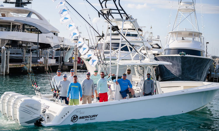
images: HySpeed Computing (top), ROFFS (body)